Real-time tracking
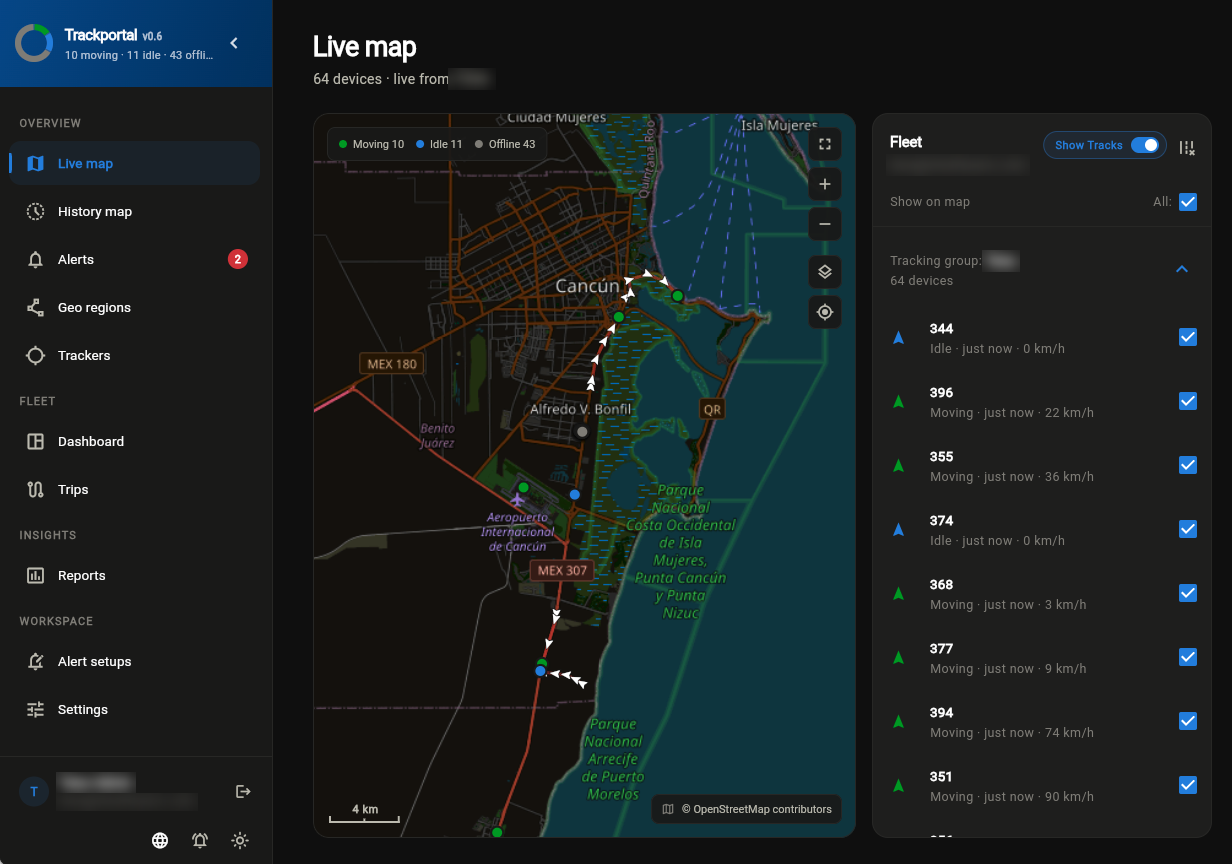
The map updates as soon as a tracker reports, with no refresh and no polling. What you see is what is happening now.
- Live status: moving, idle, stopped, offline
- Speed, heading and time in each state
- Fleet-scale maps with 1,000+ objects
History tracking
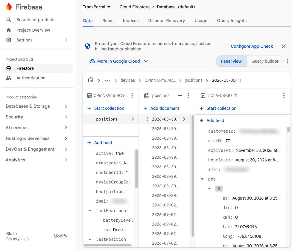
Choose a device and a day, and see where it went. Positions are stored in hourly buckets, so a full day loads in a moment.
- Route drawing and playback
- Distance, stops and idle periods
- Time-zone aware per device
Analytics
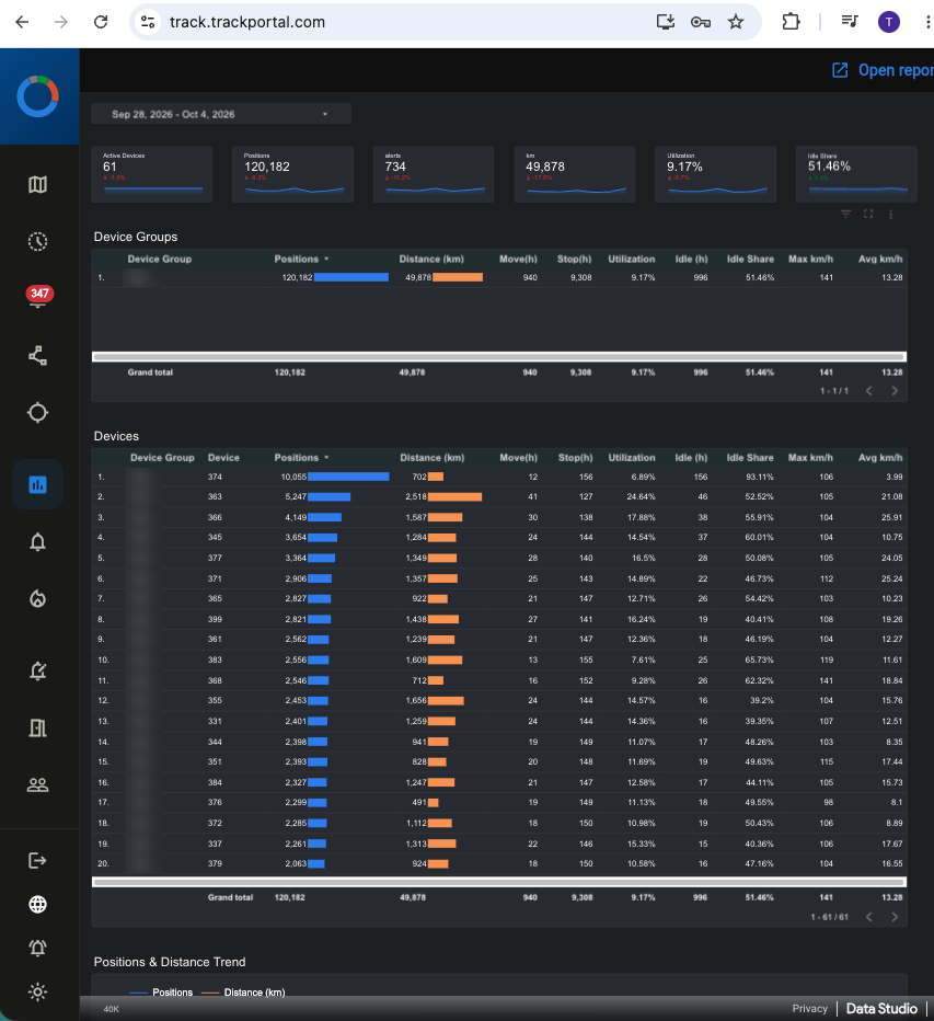
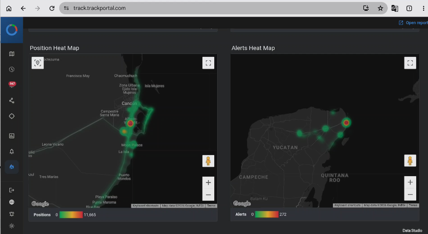
Every position flows into Google BigQuery, a data warehouse that understands geography. Reports are built in and appear inside the app.
- Distance, move, idle and utilisation per day
- Heat maps of dwell time and alerts
- Statistics per region, canton or municipality
Alarms & alerts
Set up exactly the conditions your operation needs. Built-in rate limiting stops repeated alerts from flooding you.
- Geofence enter / leave on drawn regions
- Speed limits, idle time, ignition
- SOS and fall detection from wearables
Sophisticated access rules
Each user sees exactly the devices they are allowed to see, and nothing else. Access is checked by the database itself, not only by the app.
- User groups × device groups
- Org, customer and user roles
- Strict tenant isolation, denied by default
Device commands
Send commands to trackers from the app instead of from a phone. Every command and its reply are logged.
- Remote fuel / engine cut-off and restore
- Reporting interval and configuration
- Works with GT06, H02, CalAmp and SinoTrack families
Regions
Draw regions directly on the map, or start from official administrative boundaries already loaded for you.
Vehicles, people & assets
Supports vehicle trackers, personal trackers and smartwatches, with a single view for vehicles and people.
Built on Google Cloud
Firebase and BigQuery are managed services, so there is no database server to patch, back up or rebuild.

 trackportal.com